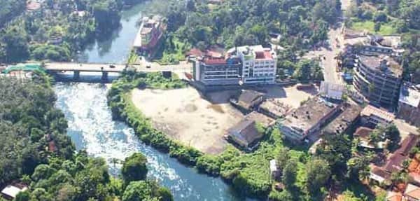
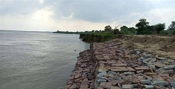
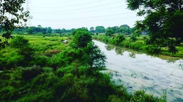
Khagaria district is an important agrarian district in the state of Bihar. It lies in the eastern part of the state and forms part of the Kosi region, which is known for its fertile land and river systems. Therefore, Khagaria plays a vital role in agriculture and rural development. Moreover, the district is surrounded by major rivers, which influence both its economy and lifestyle. As a result, it supports farming activities while also facing natural challenges like flooding. Although Khagaria has a predominantly rural character, it continues to develop steadily with improvements in infrastructure and services. Consequently, the district holds significant importance in Bihar’s agricultural landscape.
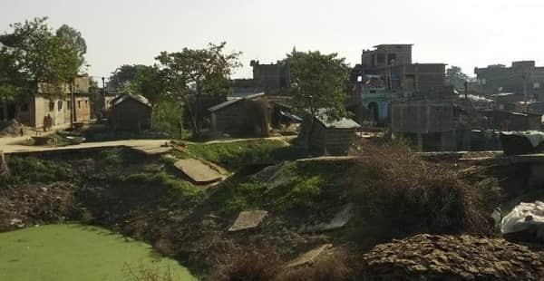
Khagaria District Bihar Quick Overview
| Particulars | Details |
| District Name | Khagaria |
| State | Bihar |
| Headquarters | Khagaria |
| Region | Kosi Region |
| Known For | Agriculture, river systems |
| Official Language | Hindi |
| Major Rivers | Kosi, Bagmati, Ganga |
| Economy | Agriculture and trade |
Historical Background of Khagaria District
Khagaria district has a rich historical background. Earlier, it formed part of the larger Munger district. However, administrative reorganization led to the creation of Khagaria as a separate district in 1981.
Historically, the region witnessed the influence of several ancient and medieval powers. It was part of larger kingdoms in eastern India and later came under the rule of the Mughal Empire. Therefore, Khagaria developed a diverse cultural and administrative heritage.
During British rule, the district gained importance due to its agricultural potential and river-based transport. Consequently, it evolved as a significant rural region in Bihar.
Geography and Location
Khagaria district lies in eastern Bihar and forms part of the fertile Gangetic plains.
Key Geographic Features:
- Located in the Kosi basin
- Surrounded by rivers such as Kosi, Bagmati, and Ganga
- Flat and fertile terrain
- Subtropical climate with heavy monsoon rainfall
Because of its river systems, agriculture thrives in the district. Moreover, seasonal flooding influences land use and settlement patterns. Therefore, Khagaria has both advantages and challenges due to its geography.
Administrative Structure
Khagaria district follows a structured administrative system.
Administrative Highlights:
- District Magistrate leads governance
- Divided into subdivisions and blocks
- Municipal bodies manage urban areas
- Panchayats govern rural regions
Consequently, governance ensures effective delivery of public services and development programs.
Economy of Khagaria District
The economy of Khagaria mainly depends on agriculture. However, trade and allied activities also contribute.
Major Economic Activities:
- Agriculture
- Dairy farming
- Fisheries
- Local trade
Because of fertile soil, farming remains the primary occupation. Moreover, livestock and fisheries add economic diversity. Therefore, the district maintains a rural-based economy.
Agriculture in Khagaria
Agriculture forms the backbone of the district’s economy.
Key Crops:
- Paddy (rice)
- Wheat
- Maize
- Pulses
- Oilseeds
Additionally, irrigation from rivers and rainfall supports farming. Consequently, agricultural productivity remains high in many areas.
Floods and River Impact
Khagaria frequently experiences flooding due to its location in the Kosi basin. Therefore, rivers play both positive and negative roles.
Key Impacts:
- Fertile soil due to sediment deposits
- Seasonal displacement of people
- Challenges in infrastructure development
However, flood management programs aim to reduce risks. Consequently, the district continues to adapt to its natural conditions.
Tourism in Khagaria District
Khagaria is not a major tourist destination. However, it offers some cultural and natural attractions.
Major Attractions:
- Religious sites and temples
- Riverbanks and rural landscapes
- Local fairs and festivals
Because of its simple and peaceful environment, the district attracts visitors interested in rural life. Moreover, cultural traditions add to its charm.
Connectivity and Transport
Khagaria district has good connectivity.
Transport Options:
- Road: Connected through state highways
- Rail: Khagaria railway station links major cities
- Air: Nearest airport is Darbhanga Airport
Because of these transport facilities, travel remains convenient. Consequently, trade and mobility improve.
Education and Infrastructure
Khagaria has improved its infrastructure over time.
Facilities Include:
- Schools and colleges
- Government hospitals
- Banking and financial services
- Road networks
Moreover, development initiatives continue to enhance facilities. Therefore, the district shows steady progress.
Culture and Lifestyle
Khagaria reflects the cultural traditions of Bihar.
Cultural Highlights:
- Hindi is the primary language
- Festivals like Chhath, Holi, and Diwali are widely celebrated
- Strong rural traditions
- Community-based lifestyle
Consequently, the district maintains a vibrant cultural identity.
Challenges Faced by Khagaria District
Despite development, Khagaria faces several challenges.
Key Challenges:
- Frequent flooding
- Limited industrial development
- Infrastructure gaps
- Migration for employment
However, government initiatives aim to address these issues. Therefore, development continues steadily.
Future Development Prospects
Khagaria shows strong potential for growth. Therefore, future development may focus on:
- Improving flood management
- Expanding agriculture and allied sectors
- Enhancing infrastructure
- Promoting small industries
Consequently, the district may achieve balanced development.
FAQs
Q: Where is Khagaria district located?
A: It is located in eastern Bihar in the Kosi region.
Q: What is Khagaria famous for?
A: It is known for agriculture and river systems.
Q: Which rivers flow through Khagaria?
A: Kosi, Bagmati, and Ganga rivers flow through the district.
Q: What crops are grown in Khagaria?
A: Paddy, wheat, maize, pulses, and oilseeds are commonly grown.
Q: Is Khagaria a tourist destination?
A: It has limited tourism but offers cultural and rural attractions.
Q: How can I reach Khagaria?
A: You can travel by road, rail, or via Darbhanga airport.
Q: Which language is spoken in Khagaria?
A: Hindi is the primary language.
Q: What are the main economic activities?
A: Agriculture, dairy farming, fisheries, and trade.
Final Words
Khagaria district combines agricultural strength, cultural traditions, and river-based geography. It plays a vital role in Bihar’s rural economy. Moreover, its fertile land supports livelihoods, while its challenges drive development efforts. Therefore, Khagaria continues to grow steadily while adapting to its natural environment. With improved infrastructure and flood management, it holds strong potential for the future.